
Finding the right yield map software for our family farm
A journey into spatial variation at the paddock
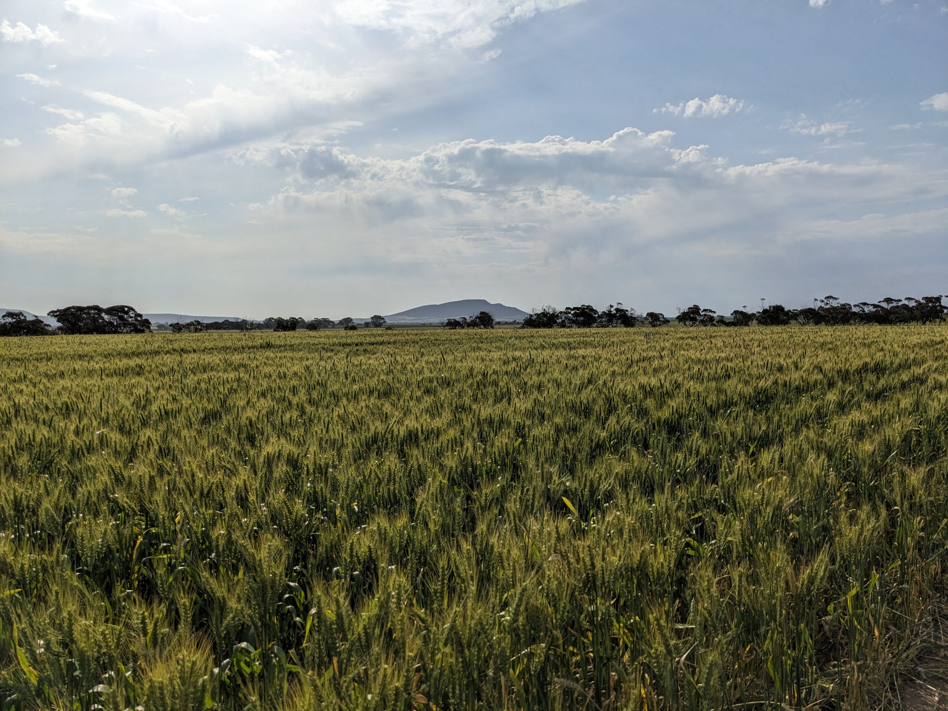
After harvest, one of the first things I want to look at is the yield maps for the crops from each field. We’re running a share farming operation, which means that we own the land and share the costs of inputs like fertiliser, seed, herbicides or fungicides, with the share farmer doing the ‘farming’ bit. Profits are split, as are costs.
The share farmer hasn’t really been using any agtech on the farm, so with taking on the family interest in managing the operation; I’ve been looking into what can help. A big part of my everyday job is to evaluate and create new digital ag products, but now there is an added incentive to see what can work and what’s already on the market and think through how things can be improved to help farmers.
The share farmer sent me the yield data as an 84mb zip file from a Case New Holland harvester. Within about 45 minutes, I had compiled, printed and assessed about 20 yield maps from fields of wheat, canola, lupins and faba beans. It was easy, once I found the right software. But the journey to get to this point took a few evenings of stuffing around with different desktop and web applications to find one that was easy to use, didn’t cost an arm and a leg, and made the whole process seamless (drop in the zip file and output all of the yield maps, displayed spatially over the farm). Let’s just say some of the other options are still living in the dark ages. Expecting farmers to be experts in data analysis is not the way to get your app used in the age of smart appliances! We’ve got used to the hard bits being taken care of for us. Even as someone with a significant amount of computer programming experience, I don’t want to be stuffing around to do unnecessary steps (and installing desktop packages where the dependencies aren’t up to date, so they don’t work).
If you think about this experience, the average farmer will likely get frustrated before they find the software that works easily. No wonder we dont’t see higher agtech adoption rates if some of the leading platforms aren’t providing easy-to-use solutions with transparent pricing (until you sign up and get locked into either a subscription or annual fee, you can’t even trial many of the options!).
When I first started doing this about 20 years ago, everything was done manually. The first job was to download and extract the textfile from the data logger with a laptop plugged in by cable. Then a program called Surfer was state of the art for visualisation. It took half a day to do one map and with a lot of problem-solving.
With the yield maps up on screen, it didn’t take very long at all to identify a few areas for improvement and identify which fields could do with some extra soil testing. We can probably guess the problems, but without digging a hole, you never can tell for sure.
The season finished on a bit of a knife edge, and any soil with low water holding capacity, or a subsoil constraint yielded between 1 and 2 t/ ha less than the field average. That equates to an economic difference of between $300 and $600 per hectare. The question is, can we realistically do anything about it? These are things to investigate before the start of the next cropping season. Keep reading to find out how we go in this journey to see what agtech can do for our farm!
Good luck everyone for 2024.